Hydrographic surveying and underwater mapping support
Accurate data for sediment remediation and marine construction
Hydrographic surveying is the process of measuring and mapping underwater environments to determine water depths, seafloor topography, shorelines, and submerged features. The information collected helps project teams understand existing site conditions and provides the foundation for dredging, sediment remediation, capping, and other marine construction activities.
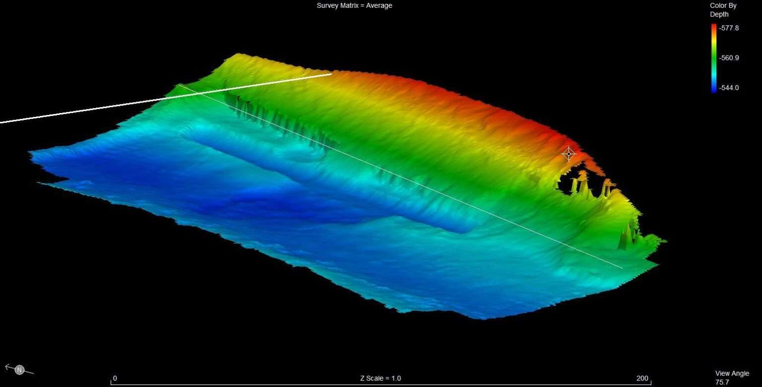
ENTACT performs hydrographic surveys using advanced multi-beam and single-beam sonar systems to collect detailed underwater data. Working alongside Clients, engineers, and consultants, our teams provide the information needed to establish excavation limits, monitor construction progress, verify material placement, and document completed work.
Why hydrographic surveys matter
Unlike land-based construction, underwater work cannot be observed directly. Hydrographic surveys provide the accurate measurements needed to plan work, monitor progress, and verify results throughout construction. Survey data supports:
- Existing condition surveys
- Pre-construction planning
- Dredging and excavation control
- Subaqueous cap placement
- Material quantity verification
- Construction documentation and as-built surveys
Accurate survey data helps project teams maintain compliance with project specifications while reducing unnecessary excavation and excess material placement.
Hydrographic surveying capabilities
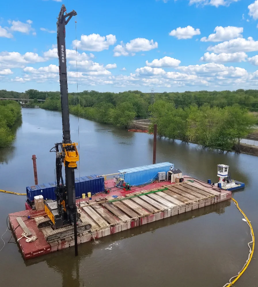
ENTACT owns and maintains an advanced fleet of marine equipment, including hydrographic survey equipment capable of supporting projects in rivers, lakes, ports, reservoirs, and other marine environments. Our capabilities include:
- Multi-beam hydrographic surveys
- Single-beam hydrographic surveys
- Lead-line, topographic, and other shallow water survey techniques
- Side-scan surveys
- Existing condition surveys
- Bathymetric mapping
- Dredge quantity calculations
- Machine controls setup and monitoring
- Material placement verification
- As-built surveys and construction documentation
Our experienced survey professionals include nationally-certified Hydrographic Surveyors with extensive experience supporting complex environmental remediation and marine construction projects.
Supporting construction with accurate field data
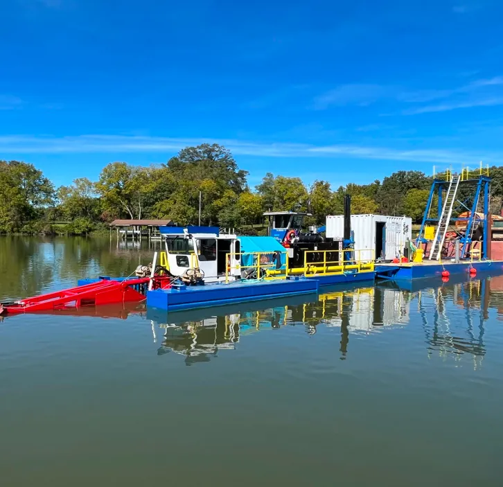
Hydrographic surveys play an important role throughout marine construction projects. ENTACT integrates survey data into field operations to help monitor progress, verify work performed, and support project quality control.
Because our survey teams work alongside our marine construction crews, data can be collected efficiently and used to support real-time construction decisions. This integrated approach helps improve constructability, maintain project specifications, and reduce risk.
Specialized marine survey equipment
ENTACT utilizes state-of-the-art hydrographic surveying technology to collect reliable underwater data in a variety of project environments. Our equipment includes advanced multi-beam and single-beam sonar systems capable of producing detailed bathymetric surveys for environmental remediation and marine construction projects. Combined with experienced field personnel and established quality control procedures, our surveying capabilities provide dependable data throughout every stage of a project.
Specialized machine control systems
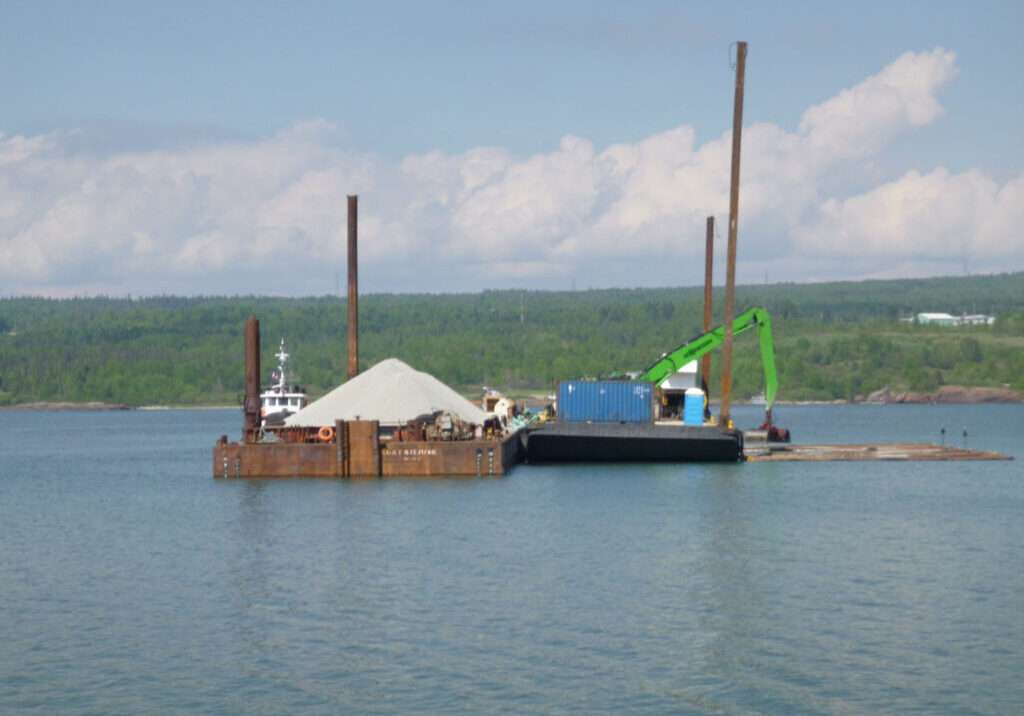
We supplement our hydrographic survey technologies with state of the are dredge machine control systems. These RTK-GPS based systems allow for precision dredging, capping, and real time tracking of progress.
ENTACT has over 30 years of expertise in a variety of control systems including HYPACK DredgePack, Trimble Machine Control, and more. Recent advancements in machine control, such as BargeVision, technology integrate near real-time multi-beam surveying technology directly into the machine control to give the operator a bucket-by-bucket update of progress at near survey fidelity.
Frequently Asked Questions
A hydrographic survey measures and maps underwater environments to determine water depths, seafloor topography, shorelines, and submerged features. The information is used to support marine construction, dredging, navigation, and environmental remediation projects.
Hydrographic surveys establish existing site conditions and define excavation areas before dredging begins. During construction, they help monitor progress and verify that dredging activities meet project specifications.
Bathymetric mapping is the process of creating detailed maps of underwater terrain using hydrographic survey data. These maps show water depths and seafloor elevations, allowing project teams to visualize underwater conditions.
Single-beam sonar measures water depth directly beneath the survey vessel along individual survey lines. Multi-beam sonar collects thousands of depth measurements across a wide swath, creating highly detailed maps of the underwater surface. The appropriate method depends on project requirements and site conditions.
Hydrographic surveys document existing conditions, guide dredging activities, verify sediment removal, and confirm the placement of capping materials. The data also supports project documentation and quality control.

Let’s work together
We want to hear about your project. Learn how we
deliver results with innovation.